Who We Are

Intermap delivers actionable geospatial intelligence powered by proprietary 3D data, AI/ML analytics and advanced geospatial expertise. We help government and commercial customers solve complex challenges that depend on understanding the physical world—from natural hazard and climate risk assessment to infrastructure planning, operational readiness and mission-critical decision-making. By transforming vast amounts of location-based information into clear, actionable intelligence, we enable organizations to move faster, manage risk and operate with greater confidence.

Facts & Figures

300
M km²

Terrain Mapped

150
+

Countries Mapped

60
+

Governments Supported

100
+

Years of Innovation

Intermap Board of Directors

Patrick A. Blott

Chairman of the Board and Chief Executive Officer

Patrick Blott creates a clear vision and makes it reality through strategic direction and strong execution. Mr. Blott’s leadership focuses on establishing growth by identifying, creating, and exploiting business advantages in key markets. He is an expert on strategic partnerships, business strategy, and financial investments, and has worked with government and business leaders around the world to achieve success. As CEO and Chairman of the board at Intermap Technologies, Mr. Blott leverages his 28 years of experience into the geospatial market to grow the core business in four key areas: Collection, Processing, Products, and Answers. Mr. Blott has held numerous key positions including co-founder of Blott Asset Management, L.L.C (2005), Founding member of Borealis Capital Corporation (2002), JP Morgan & Co, BMO and Banc of America Securities. In that time, Mr. Blott led transaction teams and assisted in underwriting $1.01 billion of private equity investments, a private buyout of $700 million company (2004), a $565 million acquisition and development of William Osler Health Center (2003) and led a subsidiary carve out of Express Pipelines Corp for $2.1 billion. Prior to 1993, he was a Special Assistant and Policy Advisor in the government of the Rt. Hon. Brian Mulroney. Mr. Blott is an experienced public company director in geospace, having served as Chairman of the Special Committee for OSI Geospatial, supplier of command and control systems for the U.S. Navy since October 2011. Patrick holds an MBA from Columbia Business School, a BA in Political Economy from the University of Western Ontario and completed post-graduate work in Political Economy at the University of Toronto.

Philippe Frappier

Independent Director

Mr. Frappier is a performance oriented, entrepreneurial leader with high-energy, reliable temperament, and exceptional interpersonal skills, who passionately believes that connections between people are at the heart of all successes in life and in business. Mr. Frappier is currently the Vice-President, Client Services with IQ Partners. IQ Partners is a strategic human capital management firm specializing in executive search, change management and leadership transition for the technology, media, and communications industries. Mr. Frappier has expertise in the area of emerging digital technologies. He brings his extensive expertise in effective people strategies and organizational structure and culture to the Intermap board providing guidance and oversight to help maximize the investment and potential in human capital. Prior to joining IQ Partners, Phil was a partner at Searchlight Recruitment Inc. Searchlight is a hands-on boutique executive search firm and, in his time, there worked with and advised companies such as: Microsoft, The Globe & Mail, Shaw Communications, Corus Entertainment, DHX Media, Bell Media, CBC/Radio-Canada, and Rogers Communications Inc. With over 12 years of executive search and recruitment experience, he has successfully delivered on hundreds of senior level searches in these areas. Prior to his career in executive search, Mr. Frappier worked in Film, Television and Commercial Production in both Canada and the US, having developed an expertise in digital technology and multi-platform content delivery. Mr. Frappier joined the Intermap Board of Directors in January 2017 and serves as Chairman of the Compensation and Benefits Committee. Phil has been an integral architect of Intermap’s restructuring, including the executive team selection, incentive benchmarking, and human capital development. Mr. Frappier holds a BA from Bishop’s University of Lennoxville, Quebec.

Jordan Tongalson

Independent Director & Audit Chair

Jordan is currently a Managing Director and leads Business Development at Littlejohn & Company, a Greenwich, Connecticut-based investment firm focused on private equity and debt investments, primarily in middle market companies. In addition, Jordan contributes experience and relationships from prior roles at The Blackstone Group, where he advised Blackstone Capital Partners on LBO and private equity investments, and Morgan Stanley, where he led building products and government services (including geospatial) investment banking coverage within the Global Industrials Group. Mr. Tongalson also worked for Siemens in the M&A and corporate development group where, among other projects, he led the sale process and strategic repositioning of its global transit telematics systems business, a pioneer in geospatial software and analytics.

Legacy of Proven Innovation

Our History

Intermap has a long history of collecting, processing, analyzing and delivering 3D terrain data, from all sources, to solve problems with speed, accuracy, recency and global scale. We are celebrating 102 years of history in June 2021. Learn more about our history below.

100+ Years of Innovation

Intermap’s history begins in 1919 when its predecessor, Pennsylvania Aero Service Corporation, was founded as North America's first aerial survey company. In 1920, it changed its name to Aero Service Corporation.

Past

1919

Pennsylvania 1921
A
ero Service Corporation, 1921. Aerial view of the Schuylkill River looking southeast from the vicinity of Fountain Street in Manayunk, Philadelphia. https://www.librarycompany.org/

1919

Intermap’s founding company, Pennsylvania Aero Service Corporation, became the first aerial survey company in North America. Aero collected the first aerial imagery of Pennsylvania by mounting a camera on an aircraft.


Aero Service Corporation is the oldest flying corporation in the world. Aero used aircraft to collect aerial photos of Philadelphia using a 20-inch focal length glass plate camera attached to the plane’s cockpit cowling.

1928

Benjamin Franklin Bridge, Old historic district Philadelphia


Aero Service Corporation, 1928. Benjamin Franklin Bridge, Old City Historic District, Philadelphia.

In 1928, Aero completed an aerial survey in Philadelphia covering 4,000 square miles.

1932

Beach Haven, New Jersey


Aero Service Corporation, 1931. Aerial views of the seaside community of Beach Haven on Long Beach Island, New Jersey.

In 1932, Aero collected aerial imagery for the entire state of New Jersey, marking the first time a complete state was photographed.

1932

1934

Fairchild T-3A cameraFairchild T-3A Five-Lens Camera used by Aero Service to survey for the TVA from 1936-1937. Aerial Cameras and Photogrammetric Equipment: A Quarter Century of Progress, Revere G. Sanders, Fairchild Camera and Instrument Corp.

In 1934, the Tennessee Valley Authority required development of the potential resources of the 43,000 square miles of the Tennessee River Watershed. Topographic map coverage at scales of 1:62,500 and 1:125,000 was sparse. Aero Service was awarded a contract to produce the aerial photography and compile mosaics. Aero assigned two "Fairchild 71" aircraft, each equipped with a camera. All flight layout, film processing, printing, mosaicking, copying and reproduction were completed by Aero. The camera used resulted in a central vertical and four oblique negatives simultaneously. The side oblique views (43⁰ from the vertical) were transformed in a special printer to near-verticals. Each mosaic board covered 7.5 minutes of longitude and 15 minutes of latitude, at a scale of 1:20,000.

1938

30th street station and main post office philadelphia
Aero Service Corporation, 1939. Aerial views of the area of West Philadelphia at 30th and Market Streets. 30th Street Station and the Main Post Office are visible, as are several bridges crossing the Schuylkill river.

1938

In 1938, Aero compiled precise photo-mosaics of 11,000 square miles of Utah for the Soil Conservation Service. Aero photographed the project areas and rectified the photos to fit the specifications. The rectification was accomplished with a precision rectifying camera designed and built by Aero.

Aero participated in several important projects, including work with the U.S. Geological Survey and for the European and Pacific theaters during World War II.

1961

Map of Liberia
Planimetric map, Liberia. Scale 1:1,000,000. Published in 1957 by the U.S. Coast and Geodetic Survey from shoran-controlled mosaics of aerial photographs of 1953 by Aero Service Corporation, Philadelphia, PA. https://purl.stanford.edu/bh084wv9467


Aero Service Corporation was acquired by Litton Industries to become a mapping and survey division of Litton.

1961

1974

Princeton NJ - 1963
Aero Service Corporation. Princeton Aerial Photograph 5-7-1963 (CMZ-3DD-35). https://earthworks.stanford.edu/catalog/princeton-8c97kr86q


Aero Service Corporation merged with Western Geophysical Company of America, another division of Litton, where it was dedicated to the creation of maps and aerials and aerial surveys.

1977

STAR 1
Synthetic Aperture Radar (SAR) sensors are located in the RF transparent radome beneath the aircraft.


Intera Information Technologies acquired Western Geophysical Company's remote sensing group.

1977

1983

STAR 1 - 1
STAR-1 system aboard a Cessna Conquest was used for ice reconnaissance when Intera won the contract with CANMAR in 1983. Read the December 6, 1983, Calgary Herald article here. Read the April 9, 1984, Maclean’s article here.

Intera won a three-year contract with Canadian Marine Drilling Ltd. (CANMAR), a subsidiary of Dome Petroleum, to monitor shipping lanes in the Beaufort Sea. Intera developed surveillance devices billed as the most advanced commercial ice early warning system in the world. The STAR-1 system (Sea Ice and Terrain Assessment Radar) allowed drill ships to identify ice floes as small as 15 - 20 meters in size previously overlooked by other devices. Under the contract, Intera set up the STAR-1 surveillance flights from Inuvik, N.W.T. on a daily basis during drilling at a well named Kogyuk N-67.

1992

eutah-mizushima-OWwK_0_EnxY-unsplash


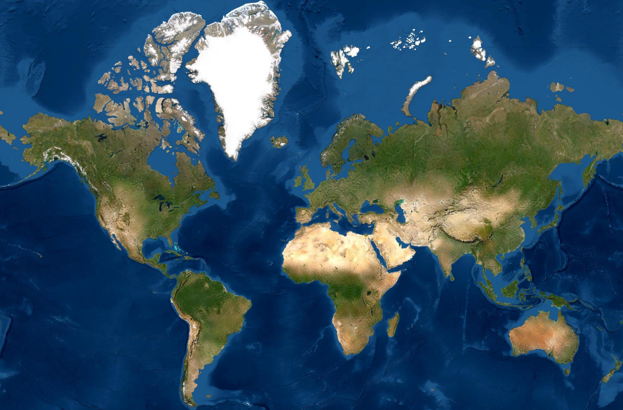
From 1992 to 1996, Intera was involved in the Central African Parks project creating topographic maps for all of Africa’s tropical forest parks. Around the same time, Intera also operated STAR-2 for ice reconnaissance to support arctic shipping lanes and operated STAR-1 for terrain mapping around the world.

1992

1996
WorldMap

Learn more about Intermap’s history with DARPA here.


Intera split into three groups: Intera Environmental, Schlumberger (acquired the petroleum portion), and Intermap (remote sensing group). Intermap acquired the world’s most advanced terrain data collection system from DARPA.

2026

Untitled Design (21)


Intermap completed its acquisition of PCI Geomatics Group Inc., operating as CATALYST, expanding its geospatial intelligence capabilities across satellite imagery processing, remote sensing and advanced analytics.

The acquisition combines Intermap's proprietary 3D elevation data and AI/ML analytics with CATALYST's established image processing technology, strengthening the company's ability to deliver integrated geospatial solutions worldwide.


Read the full press release

2026

Present Day

Today Industries

Intermap is always building new solutions and its growing geospatial library powers AI-driven algorithms, making each new solution faster, more affordable and richer in information. Intermap distributes products and solutions globally, with simple and light-weight architecture, through the cloud, or behind a firewall.

Whether the requirements are for better terrain awareness, change detection, feature extraction, foundation mapping, or predictive analytics, customers on every continent can leverage Intermap's architecture to maximize their geospatial investment. Intermap’s vertically integrated products, solutions and software simplify many large-scale terrain data challenges and make the solutions accessible to non-expert users.

Turn 3D data into actionable          intelligence.

Connect with our team to learn how Intermap can support your mission.