Intermap delivers trusted 3D data, AI/ML analytics and geospatial intelligence for organizations operating in complex, high-impact environments, addressing the risk, infrastructure and operational challenges of each industry
From natural hazard risk and national mapping to network planning and aviation safety, Intermap turns complex geospatial data into practical intelligence. Select an industry to explore relevant data, analytics and applications.
Agriculture & Forestry
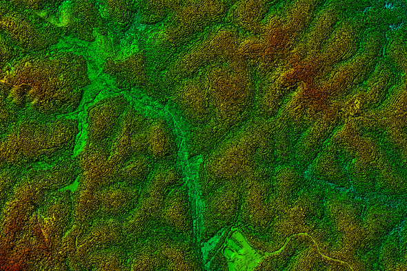
Support land management, crop planning, forestry analysis and environmental monitoring with reliable elevation data and terrain intelligence.
Quantify natural hazard and climate risk across the policy lifecycle with property-level intelligence for underwriting, portfolio management and claims.
Learn how Intermap supports industry-specific decisions with geospatial data, analytics and applications for risk, planning, mapping, monitoring and operational intelligence.
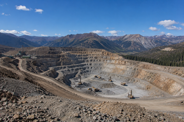
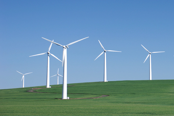
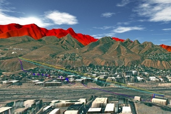
Intermap serves agriculture and forestry, aviation, insurance, government, mining and natural resources, renewable energy, space, telecom and transportation markets with geospatial data, analytics and applications.
Organizations use Intermap data and analytics to assess risk, plan projects, improve safety, model networks and better understand the physical world around their assets.
Intermap provides elevation data, terrain intelligence, 3D foundation data, imagery-derived information and industry-specific analytics that support location-based decision making across global markets.
Intermap solutions are used by governments, insurers, aviation organizations, telecom planners, energy developers, infrastructure teams, natural resource companies and other organizations that rely on trusted geospatial information.
Turn 3D data into actionable intelligence.
Connect with our team to learn how Intermap can support your mission.