GEOSPATIAL SERVICES
Geospatial Expertise From Collection to Analysis
Intermap delivers comprehensive geospatial services that transform complex data into accurate, actionable intelligence. From airborne data collection and image processing to elevation modeling and advanced analytics, our services support a wide range of geospatial needs.
GEOSPATIAL SERVICES
Expertise Across the Geospatial Workflow
From collecting and processing data to delivering actionable intelligence, Intermap provides specialized services to support mapping, analysis and decision-making. Explore our capabilities to find the right services for your project.
Analytics
Transform complex geospatial data into actionable intelligence with advanced modeling, AI/ML analytics and specialized applications.
Data Collection
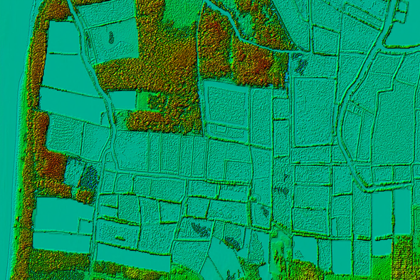
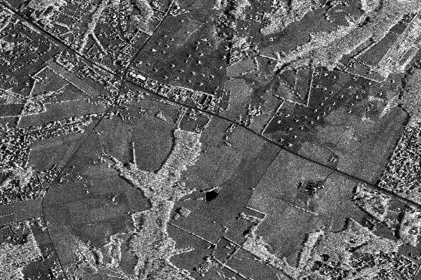
Capture accurate terrain and imagery data with advanced airborne IFSAR technology, even in remote locations and challenging weather conditions.
Data Platform
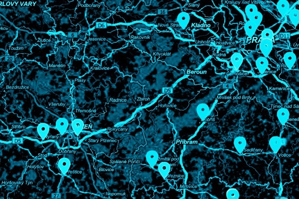
Access, manage and process geospatial information through integrated technology platforms that streamline data workflows and analysis.
Data-as-a-Service (DaaS)
Access geospatial datasets through flexible, scalable delivery models designed for seamless integration and ongoing operational needs.
Elevation Data
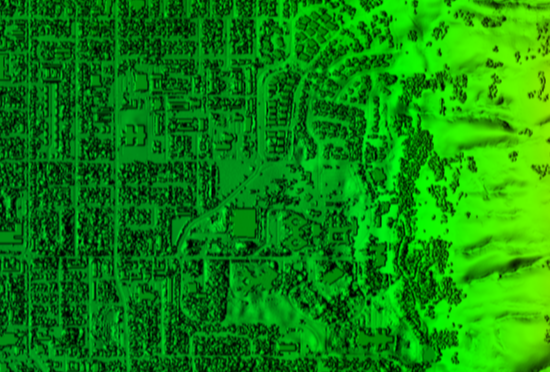
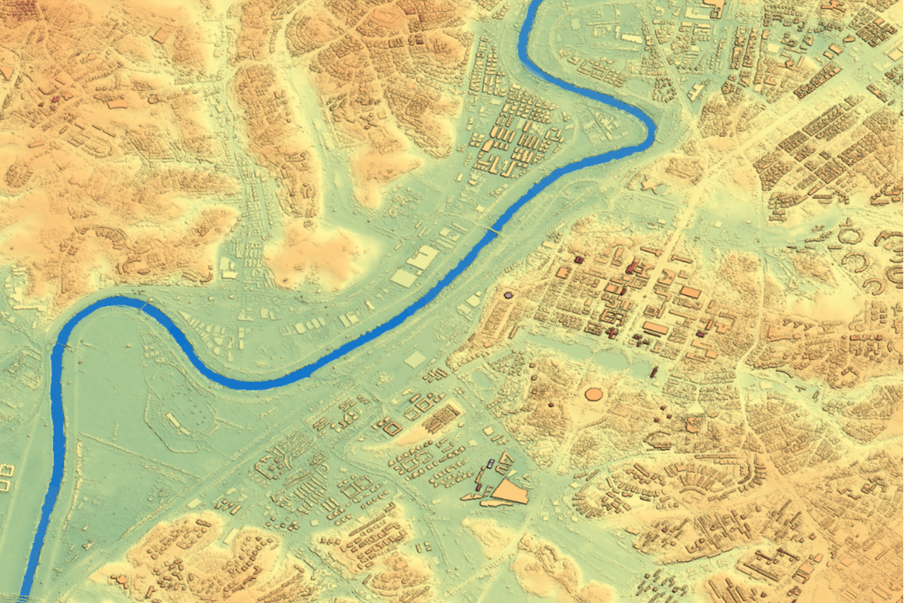
Access high-quality digital surface models (DSM) and digital terrain models (DTM) for mapping, infrastructure planning and spatial analysis.
Orthorectification
Transform satellite and aerial imagery into geometrically accurate, analysis-ready data using advanced processing technology and precise elevation models.
Turn 3D data into actionable intelligence.
Connect with our team to learn how Intermap can support your mission.