Intermap delivers high-resolution elevation data, geospatial software and advanced analytics that help organizations understand terrain, assess risk and make informed decisions across industries worldwide.
Geospatial Intelligence for Real-World Applications
From insurance risk assessment and aviation safety to telecommunications planning and infrastructure development, Intermap provides trusted data and software that turn complex geospatial information into actionable intelligence.
Aquarius RMA
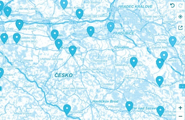
Evaluate natural hazard exposure and support insurance decision-making with geospatial analytics designed for the European market. Aquarius RMA helps insurers assess property risks, improve underwriting accuracy and manage portfolios with greater confidence.
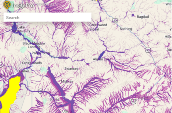
Access detailed digital elevation and terrain models that support accurate mapping, infrastructure planning and environmental analysis. NEXTMap provides reliable elevation data for applications ranging from flood modeling to engineering and national mapping programs.
Support aviation safety and navigation with high-quality, certified terrain and obstacle data. NEXTView provides reliable geospatial information for flight planning, navigation systems and other aviation applications where accuracy is essential.
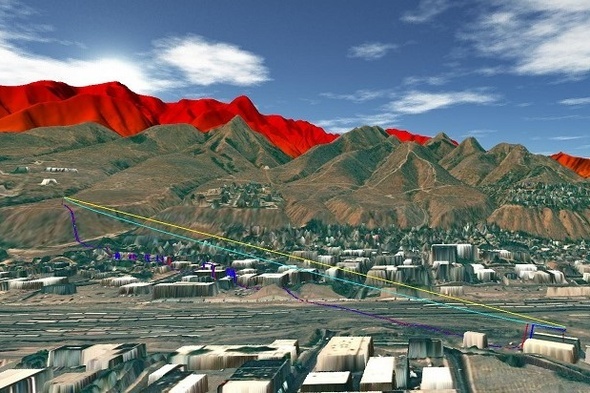
Improve wireless network planning with detailed terrain data designed for telecommunications applications. NEXTWave supports coverage modeling, site selection and network optimization to help operators plan and deploy infrastructure more effectively.